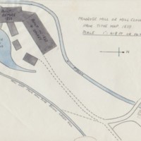
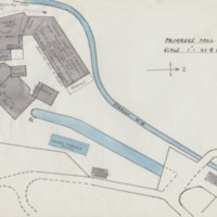
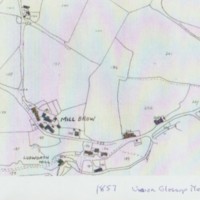
Primrose Mill : Sketches of Mill and location maps
Dublin Core
Title
Primrose Mill : Sketches of Mill and location maps
Description
Several hand drawn sketches by Tom Oldham of Primrose Mill giving details of the layout of the mill buildings, stream, pond and mill yard.
Several location maps from tithe maps, OS and 1857 Union Glossop Map
Several location maps from tithe maps, OS and 1857 Union Glossop Map
Identifier
MRS/07/08
Louiset
Louiset
Citation
“Primrose Mill : Sketches of Mill and location maps,” Marple Local History Society Archives, accessed December 22, 2024, https://marplelocalhistorysociety.org.uk/archives/items/show/2513.


