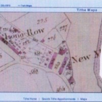
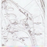
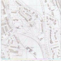
Maps showing the Lime Kilns from 1850 - 2006
Dublin Core
Title
Maps showing the Lime Kilns from 1850 - 2006
Description
Photocopies of nine maps showing location of Lime Kilns and surrounding area from various dates, 1850 to 2006
Date
Reviewed AB 06/2024
Identifier
LIM/01/011
Louiset
Louiset
Collection
Citation
“Maps showing the Lime Kilns from 1850 - 2006,” Marple Local History Society Archives, accessed December 22, 2024, https://marplelocalhistorysociety.org.uk/archives/items/show/2593.


