Potted History of Marple : 1830-1990 with maps
Dublin Core
Title
Potted History of Marple : 1830-1990 with maps
Description
Potted history using local OS maps from 1830 - 1990, highlighting local landowners and change in both surrounding structures and industries.
9 pages of text with accompanying maps titled:
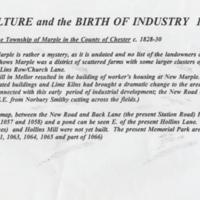
1. Agriculture & the Birth of Industry 1830
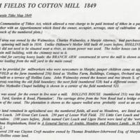
2. From Fields to Cotton Mill 1849
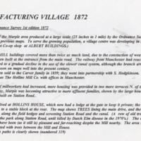
3. Manufacturing Village 1872
4. Victorian Expansion 1898
5. End of Era 1922
6. In memoriam 1933
7. Industrial Decline & Civic Development 1970
8. New Library Opens 1981
9. Shopping Superstore 1990
Unknown source and date
Identifier
HIS/01/017
Louiset
Louiset
Collection
Citation
“Potted History of Marple : 1830-1990 with maps,” Marple Local History Society Archives, accessed April 26, 2024, https://marplelocalhistorysociety.org.uk/archives/items/show/888.


